Introduction to QGIS : A Comprehensive Introduction to Mapping and Spatial Analysis with QGIS.
Somsak Nakhalajarn
Faculty of Social Work and Social Welfare
Huachiew Chalermprakite University
Abstract:
This course presents a comprehensive introduction to geographic mapping and spatial analysis using Quantum Geographic Information System (QGIS). As an open-source geographic information system (GIS), QGIS has become the go-to tool for individuals and organizations that manage, analyze, and visualize geospatial data. This short course is designed for beginners and experienced GIS users who want to enhance their skills in spatial data management, analysis, and mapping with QGIS.
Participants will be guided through the core functionalities of QGIS, starting from the basics of the user interface, the setup and management of geospatial data, to more complex features like spatial analysis and map composition. They will learn how to utilize various geospatial data formats, create and edit spatial data, perform geospatial analysis, and create compelling maps for presentation.
Emphasis will also be placed on the exploration of real-world applications of GIS through case studies, thereby providing context for the software’s uses in various fields, including urban planning, environmental science, public health, and transport logistics, among others.
At the end of the course, participants will have a solid foundation in the application of QGIS for solving complex geographic problems, and they will be able to make informed decisions using spatial data. With hands-on exercises and expert guidance, this course offers an invaluable opportunity for participants to advance their skills in GIS.
QGIS is an open-source geographic information system (GIS) that allows users to analyze and edit spatial information, as well as compose and export graphical maps.
Day 1: Introduction and Basics
Session 1: Course Introduction and QGIS Overview (2 hours / 8.00 – 10.00)
-
-
- Welcome and introductions
- Overview of QGIS and its applications
- Understanding the QGIS interface
-
Session 2: Basic Mapping (2 hours / 10.00 – 12.00)
-
-
- Understanding vector and raster data
- Loading and viewing data
- Using the identify and measurement tools
- Basic data styling
-
Lunch Break (1 hour)
Session 3: Querying Data (2 hours / 13.00 – 15.00)
-
-
- Using attribute and location-based queries
- Using the attribute table
- Introduction to SQL in QGIS
-
Session 4: Creating and Editing Data (2 hours / 15.00 -17.00)
-
-
- Creating new data layers
- Editing existing data layers
- Digitizing features
-
Day 2: Intermediate Skills and Project
Session 1: Advanced Data Visualization (2 hours / 8.00 – 10.00)
-
-
- More advanced data styling techniques
- Using labels and annotations
- Creating print-ready maps
-
Session 2: Spatial Analysis (2 hours / 10.00 – 12.00)
-
-
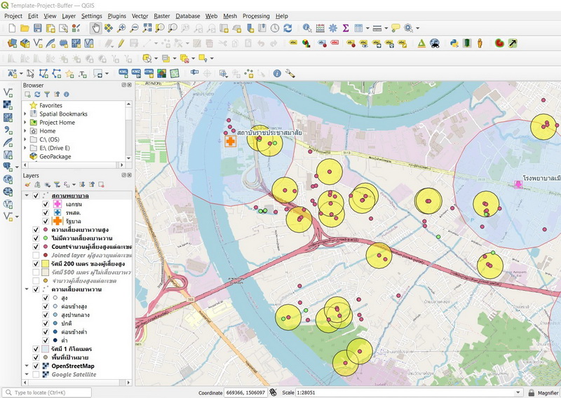
- Understanding the spatial analysis tools available in QGIS
- Conducting basic spatial analyses (e.g., buffer, clip, intersect)
-
Lunch Break (1 hour)
Session 3: Plugins and Extensions (1 hours / 13.00 – 14.00)
-
-
- How to find and install QGIS plugins
- Overview of popular plugins
- Practical application of selected plugins
-
Session 4: Project (2 hours / 14.00 -16.00)
-
-
- Hands-on project involving data loading, querying, editing, visualizing, and analyzing
- Wrap-up and question-and-answer session
-
———————————————————-